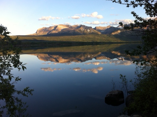
Lower Waterton Lake
DescriptionA beautiful lake on the edge of the mountains.
LevelBeginner - but the water is cold so be prepared for that.
Distance2.2 Km from one end to the other but if you start from the Maskinonge area you add another km to the distance. You could also extend the trip by doing a quick circuit around the Maskinonge area a very interesting backwater region.
Duration:This would be a nice afternoon or morning paddle.
Access (Land Agency)This is in Waterton Park, a federal park so you will need to pay to get into the park. However if you start from the Maskinonge it is before the park entrance so one might not pay the entrance fee. There are other take-in points along the west shore as you head toward Waterton townsite.
DirectionsGo to Waterton Park but before you turn off the highway to go to Waterton townsite there is turn off to the Maskinonge picnic area (south side of highway). Follow the road as far south as it will go, it will take you to a crude boat take in spot.
Special NotesPlease note that you actually have to paddle up the Waterton River to get to the Lower Waterton lake if you start at the Maskinonge area. It is a little tricky because the first stretch is shallow and you will run aground if you aren't careful - there is a safe passage but it might take a bit of probing around. The current is fairly easy to paddle against - of course in high water that might not be the case - I did this in August - June would be totally different story.
|
Map of MaskinongeMap of Lower Waterton Lake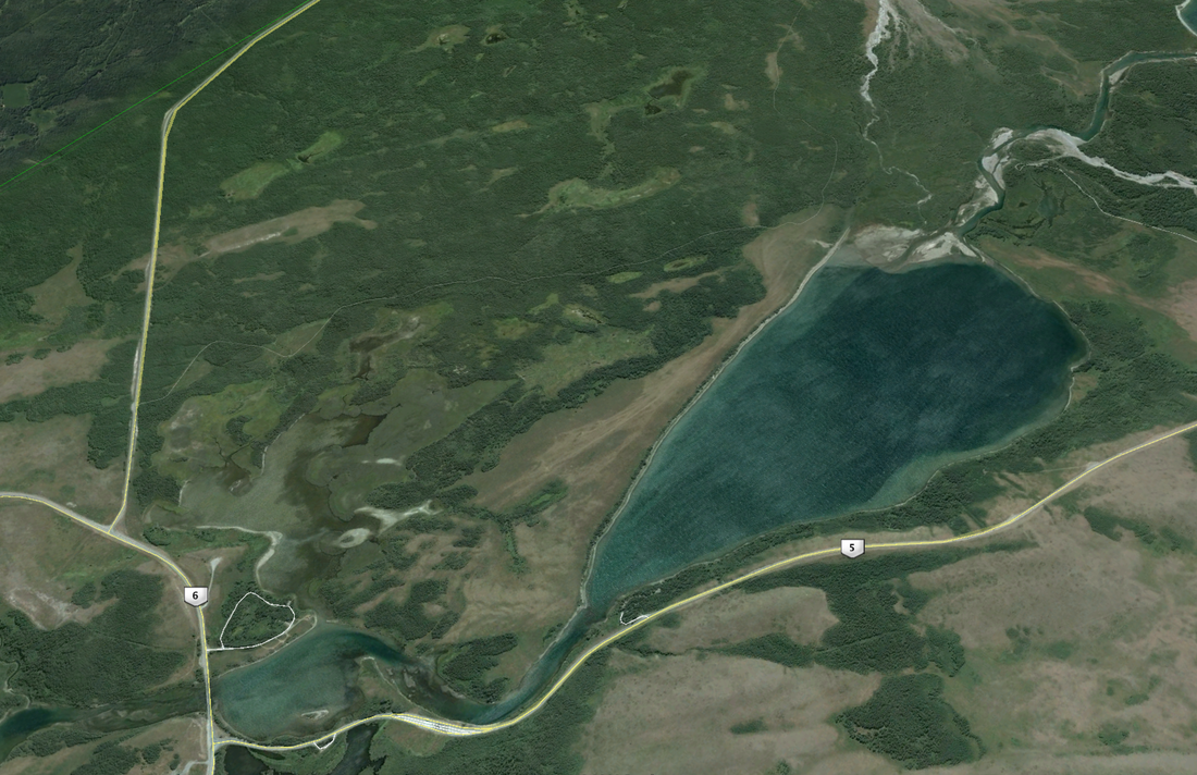
|