Milk River Ridge Reservoir
DescriptionA long narrow lake south of Raymond Alberta Canada.
LevelBeginner - Intermediate
Distance15 Km from one end to the other
Duration:Could be as long as you want it to be - took me 3 hours to go just over half way - 10 Km against the wind.
Access (Land Agency)There are three launch sites. One is at the west end - probably not the one you want to start from if there is a prevailing west wind. Another is at Ridge Park - about half way down the lake but it costs money to get in and launch your boat. I think the best location is at the far East end right off the road before the road crosses a bolder barrier. there is a small yellow sign indicating the reservoir boundary.
East Launch Site
West Launch Site
DirectionsFrom the highway going east into Raymond (or West out of Raymond) turn south on highway 844 - and follow the highway south, it will pass Raymond reservoir (keep going - looks too small to be of much interest) and then continue to the west end of the reservoir (it is possible to take-in from the here. However, I would suggest taking in from the East end. - just keep on the road and it will turn east and the road will begin to turn north around the reservoir at the east end of the reservoir. Look for a dirt road going off to the West (just before the road crosses a rock dam) - it is a faint road going out towards the reservoir - drive out as far as you can - this is the launch site on the east side of the lake. If you have a GPS, download and use the coordinates to find the eastern launch site.
|
Garmin WayPointsHere is the Garmin GPS coordinates for the east launch location.
Maps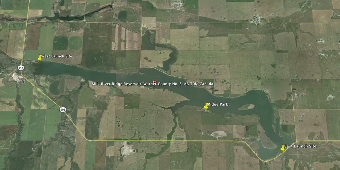
Click on the map to enlarge.
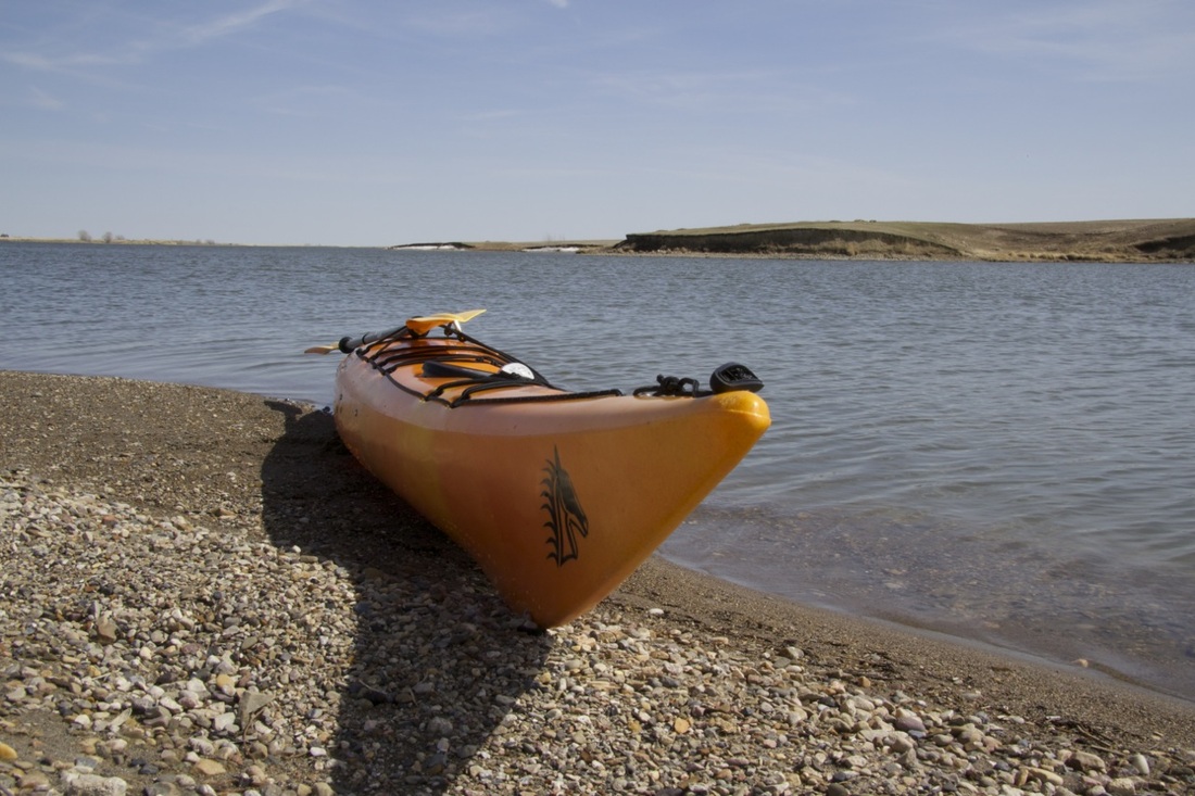
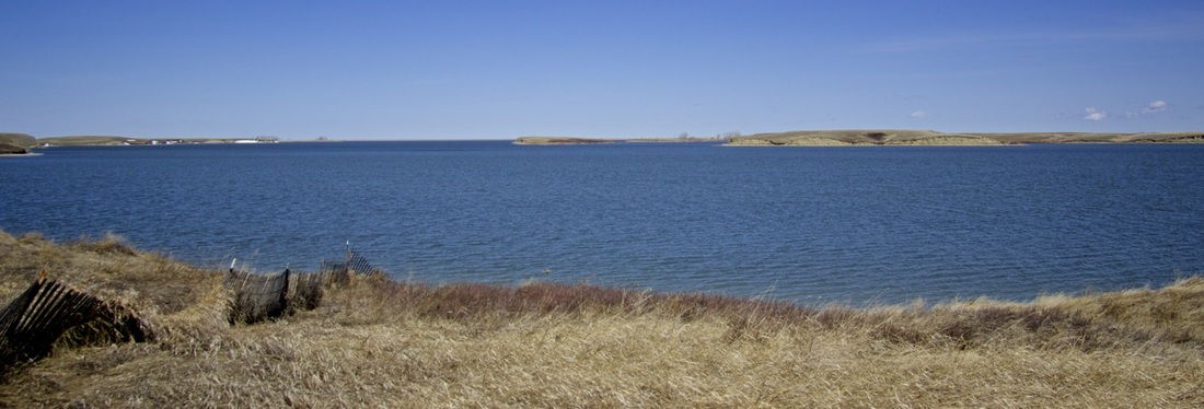
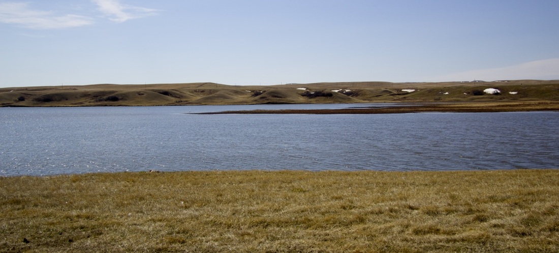
Typical View of Reservoir
| ||